REGIONAL CLIMATE MODELS
PARC applies high-resolution climate projections to climate risk assessment and adaptation planning, demonstrating the advantages of RCM data for climate risk assessment. Click on the links below to access information about our current and recent projects.
Canadian users of climate information are fortunate to have access to excellent climate data portals that provide access to outputs from the suite of climate models used by the IPCC (i.e., CMIP5), and to runs of these models forced with three Representative Concentration Pathways (RCPs 2.6, 4.5 and 8.5). Use of data from these Global Climate Models (GCMs) enables users to evaluate the large range of changes in climate variables projected by various models and assuming different GHG emission scenarios.
The Need for High-resolution Data
While these statistical downscaled GCM data are of sufficient detail and quality for most applications, some adaption plans and climate risk assessments require climate data of higher spatial and temporal resolution. Some climate impact assessments are based output from hydrological, geological and ecological models that require climate data at daily or sub-daily time scales and on a fine spatial grid. Engineering applications, such as the design of structures for the storage and conveyance of water, often require detailed weather data including extreme values. These types of applications benefit from the dynamical simulation of climate at high resolution.
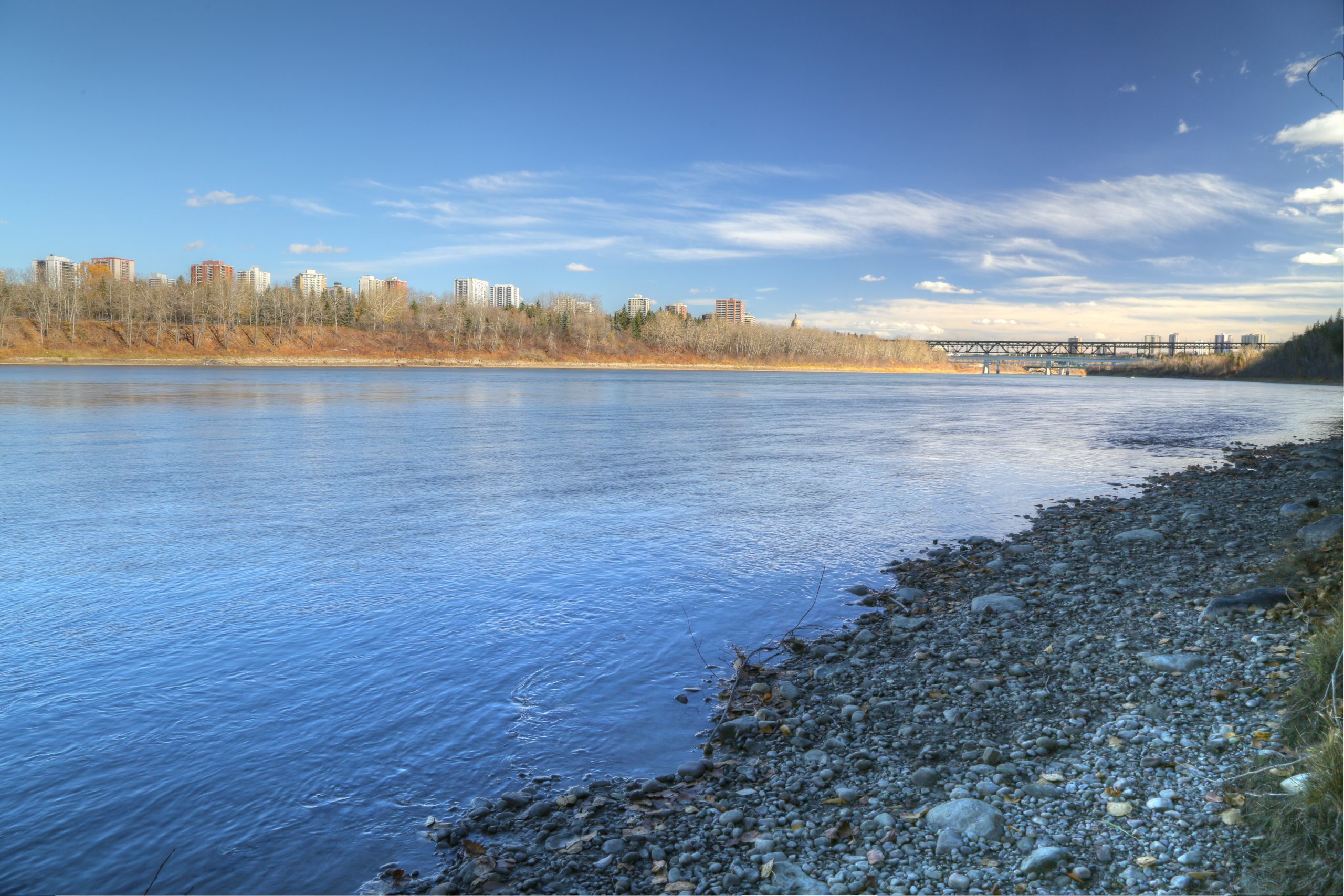
Therefore, since their introduction about 30 years ago, Regional Climate Models (RCMs) have become increasingly applied to regional climate impact and risk assessment (Giorgi et al., 2009). A RCM simulates the climate of a limited spatial domain (e.g., North America) on a fine grid (10 – 50 km). By reading output (boundary conditions) from a GCM, the RCM dynamically downscales the global simulation to a regional scale. This dynamical downscaling is especially advantageous in regions of complex topography, such as the Rocky Mountains, or for the simulation of processes, such as convective precipitation, at finer scales than a GCM grid.
The growing demand for regional climate projections is reflected in the 2019-2028 Strategic Plan of the World Climate Research Programme (WCRP) of the World Meteorological Organization. The WCRP intends to build stronger capability for ‘Bridging Climate Science and Society’ by providing a clear ‘entry point’ into WCRP activities including the Coordinated Regional Climate Downscaling Experiment (CORDEX).
PARC has used GCM data for various applied research projects by accessing the repositories of the various phases of the Coupled Model Intercomparison Project (CMIP3, CMIP5 and now CMIP6), and also the Pacific Climate Impacts Consortium (PCIC), Prairie Climate Centre (PCC) and Canadian Centre for Climate Services (CCCS) data portals. Over the past decade, however, PARC’s research in support climate risk assessment and adaptation planning has made increasing use of output from runs of RCMs. For example, during 2010-2017, the Climate Research Branch of Environment and Climate Change Canada funded PARC to develop high-resolution climate change projections for the Prairie Provinces using data derived from RCMs (Barrow and Sauchyn, 2017, 2019). We have sourced RCM data for the Prairie Provinces from:
• The North American Regional Climate Change Assessment Program (NARCAAP)
• The North American Domain of the Coordinated Regional Climate Downscaling Experiment (NA-CORDEX)
• Canadian climate modeling centers: CCCMa and Ouranos
Within the past few years, PARC also has developed the capacity to conduct our own regional climate model experiments. We qualified for access to the cluster of supercomputers managed by the WestGrid regional partner of Compute Canada. PARC is running the National Center for Atmospheric Research (NCAR) Weather Research and Forecasting (WRF) model, which is widely used for regional climate studies. We have run WRF with boundary conditions from reanalysis data to simulate the historical climate of Prairie Provinces (Basu et al., 2020). We also have downscaled the Community ESM to a resolution of 30 km over most of Canada, to 10 km over the Prairie Provinces, and to 3.3 km for a small domain in central Alberta centered on the City of Edmonton.
Our feature RCM projects highlight the application of high-resolution climate projections to climate risk assessment and adaptation planning, demonstrating the advantages of high-resolution RCM data for climate risk assessment.
Our RCM Projects / Data in Action
Please click on the boxes below to see feature RCM projects.
Climate projections for the SK ecozones

Coming soon
Requesting RCM Data and Climate Modeling from PARC
PARC provides high-resolution climate projections and climate impact assessments to communities, private companies, government and non-governmental organizations, and as a cornerstone in our research. We are happy to discuss how we can assist with incorporating climate projections, interpretations, uncertainty or understanding into your projects.
REFERENCES
Barrow, E.B. and D.J. Sauchyn (2017). An Analysis of the Performance of RCMs in Simulating Current Climate over Western Canada. The International Journal of Climatology. DOI: 10.1002/joc.5028
Barrow, E.B., and D.J. Sauchyn (2019). Uncertainty in climate projections and time of emergence of climate signals in western Canada. The International Journal of Climatology, https://doi.org/10.1002/joc.6079
Basu, S., D. Sauchyn, and M. Rehan Anis (2020). A Comparative Case Study of the Hydrological Extremes in the Canadian Prairies in the Last Decade due to the ENSO Teleconnection, Water, 12: 2970; doi:10.3390/w12112970
Giorgi, F., C., Jones and G.R. Asrar (2009). “Addressing Climate Information Needs at the Regional Level The CORDEX Framework” WMO Bulletin, 58(3) https://public.wmo.int/en/bulletin/addressing-climate-information-needs-regional-level-cordex-framework<